Tibet is on a high plateau—the Plateau of Tibet—surrounded by enormous mountain masses. The relatively level northern part of the plateau is called the Qiangtang; it extends more than 800 miles (1,300 km) from west to east at an average elevation of 16,500 feet (5,000 metres) above sea level. The Qiangtang is dotted with brackish lakes, the largest being Lakes Siling (Seling) and Nam (Namu). There are, however, no river systems there. In the east the Qiangtang begins to descend in elevation. The mountain ranges in southeastern Tibet cut across the land from north to south, creating meridional barriers to travel and communication. In central and western Tibet the ranges run from northwest to southeast, with deep or shallow valleys forming innumerable furrows.
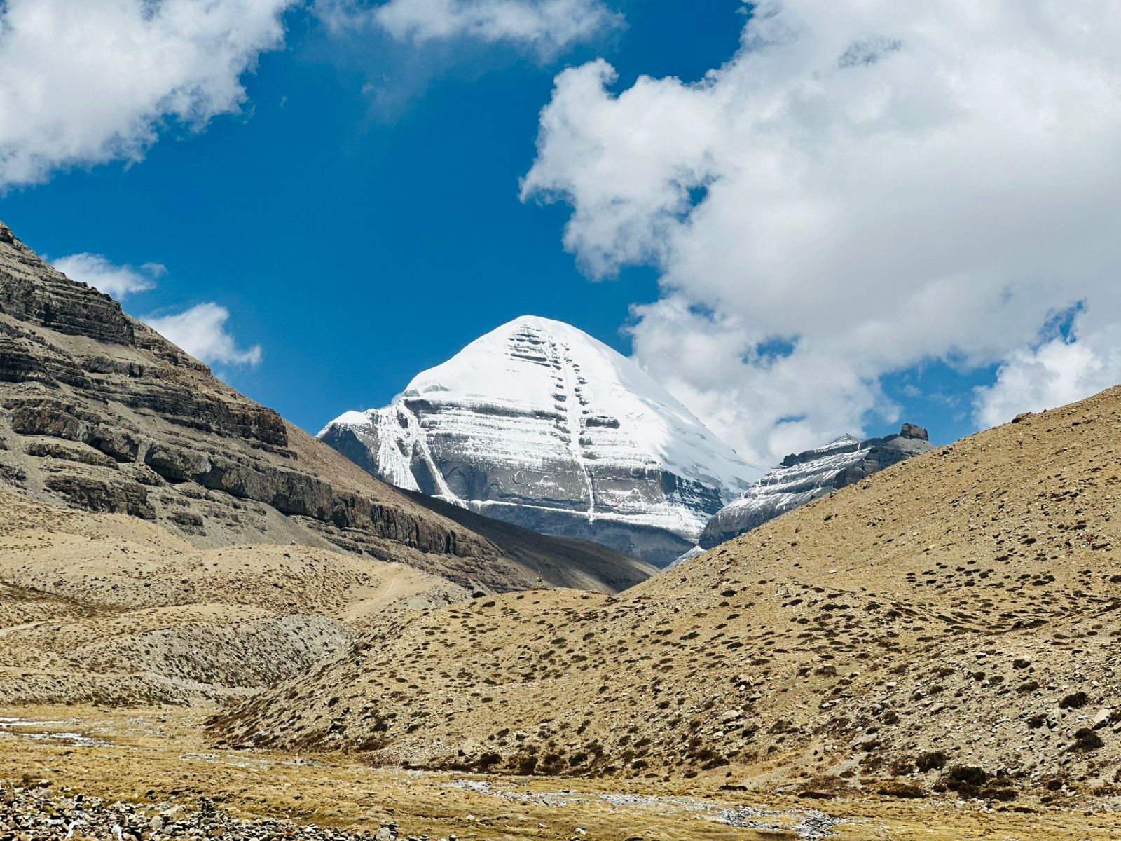
The Qiangtang is bordered on the north by the Kunlun Mountains, with the highest peak, Mount Muztag (Muztagh; on the Tibet-Xinjiang border), reaching 25,338 feet (7,723 meters). The western and southern border of the Plateau of Tibet is formed by the great mass of the Himalayas; the highest peak is Mount Everest, which rises to 29,035 feet (8,850 metres) on the Tibet-Nepal border. North of Lake Mapam (conventional: Manasarowar) and stretching eastward is the Kailas (Gangdisi) Range, with clusters of peaks, several exceeding 20,000 feet (6,100 metres). This range is separated from the Himalayas by the upper course of the Brahmaputra River (in Tibet called the Yarlung Zangbo or the Tsangpo), which flows across southern Tibet and cuts south through the mountains to India and Bangladesh.